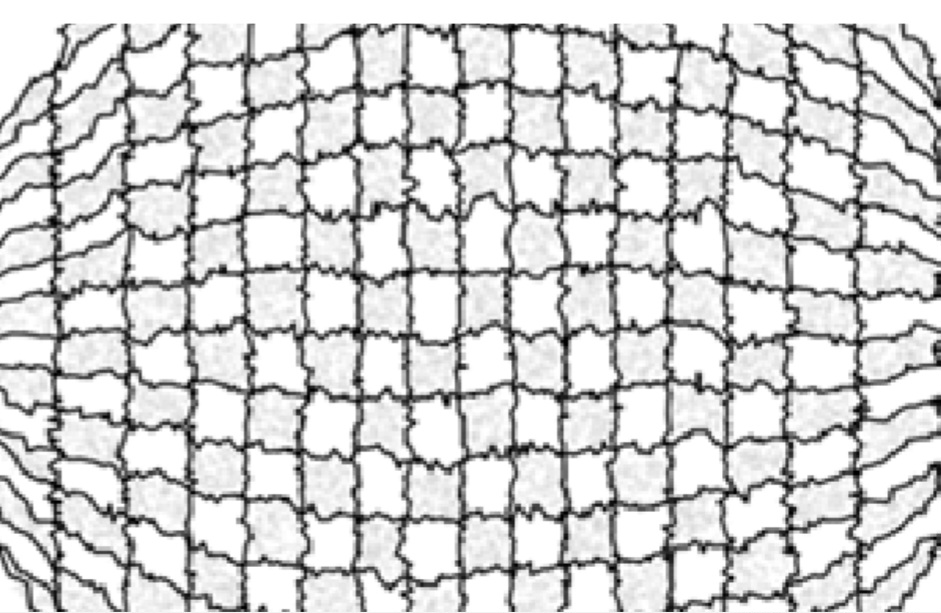
The discrete space-filling (or serialization) problem consists in organizing spatial data so that geometric processing can be performed efficiently. One want to sort a dataset in a spatially coherent way rather than just arbitrary as they come up in memory.
Space-filling curves solve this by mapping multidimensional data to a one-dimensional ordering. However, this unfolding can break local spatial relationships: nearby points may become distant in the resulting order.
Neighborhood-grids, instead of reducing the data to one dimension, construct a regular multidimensional grid passing through all points. Each point spatial multi-index
The project is split into two repositories:
-
Squarenet: Python implementation for converting
$[N,D]$ point clouds into structured grids. - Cartesian Grid Sort: mathematical details of the optimization algorithm.
Theoretical background:
For neighborhood grid: Skrodzki, Reitebuch, Polthier, arXiv:1710.03435, 2018 (expanded in: Skrodzki, PhD thesis, Freie Universität Berlin, 2019).
See also Kaplan, C., Dahm, J., Oran, E., Alexandrov, N., & Boris, J. (2010). The Monotonic Lagrangian Grid for rapid air-traffic evaluation. AIAA Paper 2010-9336 for monotonic lagrangian grid and extensions